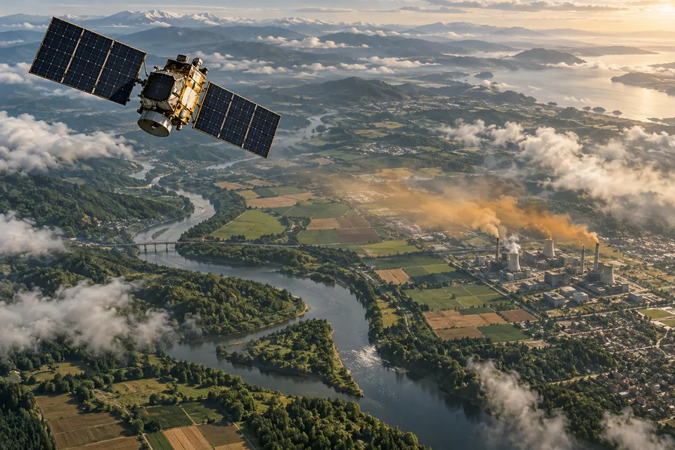
A colored plume across a satellite image looks like an accusation with coordinates. It can be powerful evidence of an emission event. It is not yet a complete explanation of the source, its duration or what happened after someone received the alert.
That gap is where methane observation becomes useful climate work. More detailed images can reveal previously poorly understood emissions. A durable reduction still requires someone to investigate, act and establish whether the change lasted. The image opens a case; it does not close one.
In 2026, the UN Environment Programme’s Methane Alert and Response System, MARS, expanded its alerts beyond its initial oil-and-gas focus to coal and waste. UNEP describes a system combining more than 30 satellite instruments with analysis and notifications to governments and companies. Its design acknowledges the missing link in a picture-only account: people with authority on the ground must receive and use the information.
The first label should be the observation time
Begin with when the scene was acquired. A satellite observation concerns conditions during a particular opportunity to observe. The date a dataset is released, the date a story is written and the date a facility is inspected may all be different. A dashboard that foregrounds its latest publication date can make older evidence look like a live view.
MethaneSAT provides a clear reason to preserve that distinction. Its operator, the Environmental Defense Fund, says contact with the satellite was lost on 20 June 2025 and recovery became unlikely. The IEA’s 2026 discussion of methane studies nevertheless reports continuing insights from processing and releasing the mission’s collected data. A valuable new analysis does not imply a new overflight by that satellite.
An archive can remain scientifically useful after a mission stops operating. It can support estimates, comparisons and improved methods. What it cannot do is provide an observation of a repair made after its last acquisition. That requires other evidence. Treating all available data as equally current would misrepresent both the archive’s value and its limits.
The same discipline applies to a screenshot shared without metadata. Readers need the acquisition time, instrument and relevant description of what the colors represent. Without those labels, a convincing image can travel farther than its meaning.
A concentration pattern is not a meter on a pipe
Satellite instruments infer atmospheric methane information from observed radiation. Turning a detected enhancement into an emission rate requires further analysis. The shape of the plume, wind and the method used to connect the observed gas to a source affect the result.
ESA’s METRICS project explicitly separates meteorological representation, plume characterization and emission quantification in its work on common practices and uncertainties. It is a useful corrective to the impression that a satellite simply reads a facility’s output from orbit. The result is an estimate produced through a measurement-and-analysis chain, with uncertainty that deserves to travel with it.
This does not make the estimate weak by definition. Many useful measurements involve inference. It means that a comparison should consider whether two numbers were obtained under compatible conditions and methods. A precise-looking figure can still have substantial uncertainty, and adding decimal places does not resolve it.
For a public reader, the question is what conclusion the evidence supports. It may identify a large event requiring prompt investigation. It may help estimate emissions over a region. It may not distinguish between nearby pieces of equipment without additional observations. These are different tasks; the same scene need not perform all of them.
Finding the facility is a second operation
Broad-area mapping can identify regions of elevated methane, while finer observations can help locate a source. Those capabilities complement one another. A useful observing system does not have to choose between seeing a wide area and resolving a particular facility; it can combine instruments and other information.
The challenge becomes clear in an industrial landscape containing several possible sources. An enhancement near a complex is a reason to examine that complex and the atmospheric conditions, not a license to assign every molecule to the nearest company name on a map. Facility boundaries, infrastructure records and observations at other scales can help establish the link.
Attribution also has an institutional dimension. The organization operating a site may differ from the entity owning a connected pipeline or handling a particular service. A notification needs to reach someone able to investigate the relevant operation. A technically accurate coordinate is only partly actionable if the recipient cannot identify who controls what happens there.
Public reporting should preserve these distinctions while the inquiry proceeds. “Detected near,” “attributed to” and “confirmed by the operator” express different evidentiary states. They should not be merged into one dramatic caption. Keeping the states separate is useful both for accountability and for avoiding claims the observation does not establish.
The reply is not the repair
MARS reports response rates, but the meaning is specific. The Eye on Methane frequently asked questions defines the rate around notified sources for which feedback was received from governments or operators. A response can help establish the source, cause and action. Receiving it is not equivalent to independently confirming that emissions have stopped.
This is an important distinction for any performance dashboard. The communication chain has intermediate achievements: an alert reaches a focal point, the facility is identified, an investigation begins and a planned intervention is described. Each reduces a different uncertainty. Combining them into a single “resolved” category would erase the work still outstanding.
UNEP’s published mitigation-case collection says it had documented more than 40 mitigation cases by April 2026 and lists examples across several continents. This is evidence that the data-to-action route can work, as reported by the program conducting it. It is not a statement that every alert has produced mitigation, and the collection itself notes that action has not kept pace with expanding notifications.
One UNEP account published in July 2025 follows the chain in Chubut, Argentina. An alert estimated a release of 4.2 tonnes an hour. The provincial focal point contacted the operator, which investigated the well and installed gas-capture equipment. UNEP reported that follow-up satellite observations on 8 January 2025 no longer detected emissions there.
The same account describes a different sequence in Turkmenistan: an unlit flare released methane for 48 hours, then the release ceased on its own. The notification prompted a warning to the responsible operator about future flare operation. A later absence in the image therefore had a different causal story. The response addressed recurrence after an event, rather than equipment repair stopping an ongoing release.
Both cases produced action, but they should not share an unexplained fixed-a-leak label. The chronology identifies what the intervention can plausibly be credited with, and what had already happened before it.
Put the clock beside the rate
An emission rate and an emitted quantity answer different questions. To make the distinction concrete, imagine a constant release of 100 kilograms an hour. If it lasts one hour, the total is 100 kilograms; if it lasts 24 hours, the total is 2,400 kilograms. These are invented values for arithmetic, not measurements of a facility or assumptions about a typical leak.
A single observation cannot establish the entire duration merely by producing a rate estimate. Extrapolating that estimate across a month or year introduces an assumption about persistence. The assumption may be supported by repeated evidence or an appropriate model, but it should remain visible. An instantaneous event estimate and an annual inventory should not share a label that hides the conversion.
Duration matters for assessing an intervention as well. A rapid response can prevent additional release without recovering methane already emitted. Quantifying the avoided amount requires a defensible account of what would otherwise have happened. That counterfactual is different from the directly observed plume, and it deserves its own uncertainty rather than borrowing the image’s apparent immediacy.
Return to the coordinates
Suppose an imagined facility receives an alert, identifies a fault and reports a repair. This is an illustrative sequence, not one of UNEP’s documented cases. A later observation detects no comparable plume. Has the repair been verified?
The answer depends partly on whether the later observation was capable of detecting the event under relevant conditions. A cloudy scene, an unsuitable surface or an emission below the instrument’s sensitivity can produce a missing detection without proving zero emissions. A comparison needs to establish what was observable, not simply whether the map contains a colored shape.
UNEP’s description of the observing service explains important limits of reflected-sunlight methane sensing, including clouds, illumination, surface conditions and detection thresholds. These limits concern the systems described, rather than every possible remote-sensing technique. They are reasons to interpret coverage carefully and combine evidence, not reasons to abandon observation.
A convincing repair record may therefore connect the reported work with suitable follow-up measurements, including observations closer to the equipment where appropriate. Repeated checks can help distinguish an enduring change from an intermittent event that happened not to be active during the next pass.
The interval matters too. A prompt temporary shutdown and a durable repair can both reduce emissions, but they imply different expectations for future operation. The public record should explain what changed and how the site was subsequently assessed. Otherwise, a short-lived disappearance can become a permanent success story through a missing update.
The map cannot be the whole inventory
Large visible events are especially actionable, but the absence of such an event does not mean a region has no methane problem. Smaller sources, intermittent releases and areas with difficult observing conditions can remain important. A system designed to find major plumes is not automatically a complete census of all emissions.
The IEA’s 2026 studies chapter argues for combining space-based, airborne and ground-based evidence in dynamic inventories. That is a different ambition from adding together the most dramatic detections. Different measurement scales help answer different questions, and the inventory needs an explicit method for reconciling them.
This also changes how a league table should be read. A list of detected large sources describes its selection process and observation coverage. It should not quietly become a complete ranking of every country’s or company’s total performance. The denominator, time window and inclusion criteria are part of the result, not optional footnotes.
An apparent improvement can have several explanations. The underlying emissions may have fallen; the observation opportunities may have changed; methods may have been revised; a source may have been reassigned. A responsible account investigates these possibilities before treating a changing count as a measured climate outcome.
What a completed case would contain
A useful record could link the original observation, its uncertainty and source attribution to the notification and subsequent investigation. It would identify the reported intervention, the evidence used to assess it and any reason continued monitoring remains necessary. It would retain the acquisition dates so future readers could reconstruct the sequence.
Such a record is less immediately striking than a plume image. It is also more useful for deciding what worked. It allows a regulator, operator or researcher to distinguish a newly discovered source from a recurring one, an acknowledged alert from an implemented repair, and a suitable negative observation from a gap in coverage.
The record should remain revisable. If later evidence reveals recurring emissions or changes an earlier estimate, the original success claim needs an update. That is a feature of accountable measurement, not a failure to produce a sufficiently confident first headline. A system whose conclusions can change with new evidence is better suited to an intermittent physical process than a permanent badge attached after one favorable image.
The satellite’s great contribution is to make more of the atmosphere legible across boundaries that ground-based reporting alone can struggle to cross. The next contribution comes from connecting that view to people who can change what it shows. A methane plume becomes a climate intervention only after the image leads somewhere.
Sources & context
This article draws on the sources linked in the text. Analysis and illustrative scenarios are identified separately from reported findings.
- Methane Alert and Response System, MARS
- Environmental Defense Fund
- IEA's 2026 discussion of methane studies
- METRICS project
- Eye on Methane frequently asked questions
- published mitigation-case collection
- UNEP account published in July 2025
- description of the observing service